In the space of a single day, a modest cluster of thunderstorms off Mexico's southwestern shoreline became one of the most intense hurricanes ever measured in the Pacific Ocean. Hurricane Polo went from a 50 mph tropical storm on Monday to a 160 mph Category 5 monster by Tuesday morning — and it was not finished.
By Tuesday night, Polo's sustained winds had reached 180 mph and its central pressure had collapsed to 892 millibars. For meteorologists, that number is the headline. For the millions of people living along Guerrero and Michoacán, the headline is rain — and a lot of it.
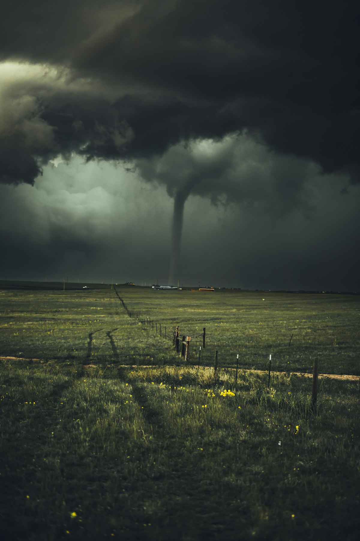
A well-defined hurricane eye seen from orbit. Image source: Unsplash (royalty-free).
What Happened: A Storm That Broke the Charts
Polo formed in the eastern Pacific early this week and intensified at a pace that meteorologists describe as extreme even by modern standards. The storm's peak winds jumped by roughly 110 mph in 24 hours — just 10 mph short of the world record for 24-hour intensification set by Hurricane Patricia in 2015.
Measured differently, Polo went from a minimal tropical storm to Category 5 strength in about 33 hours. If the figure holds after post-season analysis, that would be the fastest such development ever recorded in the eastern Pacific basin.
The pressure reading is equally striking. At 892 millibars, Polo became the second-most intense hurricane on record in the eastern or central Pacific by minimum pressure. That figure matches the lowest pressure recorded in Hurricane Melissa in 2025 and the estimated pressure of the 1935 Labor Day hurricane — a storm still used as a benchmark for catastrophic intensity.
The Numbers at a Glance
- Peak sustained winds: 180 mph (Category 5)
- Minimum central pressure: 892 millibars
- Intensification: roughly 110 mph wind increase in 24 hours
- Time from tropical storm to Category 5: about 33 hours
- Sea surface temperatures: 87–88°F, among the warmest on record for mid-September in that region
Why Polo Intensified So Fast
Rapid intensification is not rare on its own. The National Hurricane Center defines it as a wind speed increase of at least 35 mph in 24 hours, and it happens several times most seasons. What Polo did was roughly three times that threshold.
Three ingredients came together at once. Ocean surface temperatures off southwestern Mexico climbed to 88°F — exceptionally warm water that acts as fuel, feeding heat and moisture into the storm's core. Wind shear, the change in wind speed with altitude that normally tears developing storms apart, was unusually weak. And the surrounding atmosphere was humid enough that dry air never got entrained into the circulation.
A very strong El Niño pattern is boosting those already-warm waters. El Niño typically suppresses Atlantic hurricane activity while enhancing conditions in the eastern Pacific — a seasonal seesaw that has been visible in the basin's activity all year.
The Depth Factor Forecasters Watch
Warm surface water alone is not enough. What matters is how deep that warm layer runs. A shallow warm layer gets churned up by the storm itself, pulling cooler water to the surface and choking off the energy supply. A deep warm layer keeps delivering.
In Polo's case, the warm water ran deep enough that the storm's own churning did little to slow it down — which is precisely why the intensification curve stayed nearly vertical for a full day.

Heavy surf and storm cloud along an exposed coastline. Image source: Pexels (royalty-free).
Where Polo Is Now and What Comes Next
After peaking, Polo weakened somewhat and is currently a Category 4 storm with sustained winds near 155 mph. It sits roughly 185 miles south of Zihuatanejo, Mexico, and — critically — it is barely moving, drifting east at about 2 mph.
The current forecast keeps the center of the storm offshore. That is meaningfully good news: a Category 5 landfall on this stretch of coast would be a catastrophic event. But an offshore track does not mean an absence of impact.
Expected Impacts Along the Coast
- Rainfall: 4 to 8 inches across coastal Guerrero and Michoacán, with isolated totals up to 12 inches through Thursday
- Wind: tropical storm-force gusts along exposed coastal areas
- Flooding: life-threatening flash flooding and mudslides, particularly in steep terrain inland from the coast
- Surf: dangerous swells and rip currents extending well beyond the storm's center
The slow movement is the danger here. A fast-moving storm dumps its rain and leaves. A nearly stationary one parks over the same watersheds for days, and that is how 12-inch totals turn into landslides in mountainous coastal terrain.
Polo's moisture is also reaching much farther north. Remnant moisture streaming into the U.S. Southwest has contributed to flash flood emergencies in New Mexico — a reminder that a Pacific hurricane's reach extends well past the country it forms near.
The Bigger Picture: Forecasting a Moving Target
Hurricane track forecasting has improved dramatically over the past three decades. Intensity forecasting has improved far more slowly, and rapid intensification remains the hardest problem in the field.
The practical consequence is a compressed warning window. When a storm can go from unremarkable to catastrophic in a single day, the traditional 48- or 72-hour evacuation timeline does not always exist. Communities may have one planning cycle rather than three.
Researchers have documented an increase in rapid intensification events in several basins, and the mechanism is not mysterious: warmer oceans hold more available energy. Attributing any single storm to a broader trend requires careful analysis, but Polo's ingredient list — record-warm water, deep warm layer, low shear — reads like a case study in why the problem is getting harder.
What This Means for Preparedness
For anyone living in a hurricane-exposed region, the operational takeaway from Polo is straightforward. Preparation timelines built around a slow-building storm are increasingly unreliable. Supplies, evacuation routes, and communication plans are best settled before a named system appears on a map, not after.
It is also worth remembering that most hurricane fatalities come from water, not wind. Category ratings measure wind speed only. A weakening Category 4 that stalls over a mountainous coastline can be deadlier than a stronger storm that moves through quickly.
The Bottom Line
Hurricane Polo will be studied for years. It is a record-setter by pressure, very nearly a record-setter by intensification rate, and a clear demonstration of what happens when a tropical system finds unusually warm, deep water under a calm atmosphere.
For now, the immediate story is rain. The forecast keeps Polo's core offshore, but a slow-moving hurricane parked near a mountainous coast is a flooding event regardless of where its eye sits. Residents of Guerrero and Michoacán should continue following guidance from Mexico's national meteorological service and local authorities through Thursday.
Stay with us for updates. Conditions with a stalled system can change quickly — if you found this breakdown useful, bookmark the page and check back as the forecast evolves. Have a question about how rapid intensification works, or about what the forecast means for a specific area? Leave a comment below and we will address it in a follow-up.
Reporting compiled from public advisories and coverage by the National Hurricane Center, CNN, CBS News, ABC News, Fox Weather, weather.com and Yale Climate Connections. Figures are current as of September 23, 2026, and may change as the storm evolves.
Post a Comment