Tropical Storm Arthur may have been short-lived, but its remnants have left a long and dangerous trail across the U.S. Gulf Coast. The first named storm of the 2026 Atlantic hurricane season dumped more than 20 inches of rain on parts of Louisiana, flooded hundreds of homes, and left at least one person dead — and the flood threat is far from over.
As of Friday, forecasters warned that Gulf Coast flooding still threatened more than 63 million people, even as the weakening system tracked toward the Atlantic. Here is what happened, why it matters, and what comes next.
A Fast-Forming Storm With a Slow, Soaking Punch
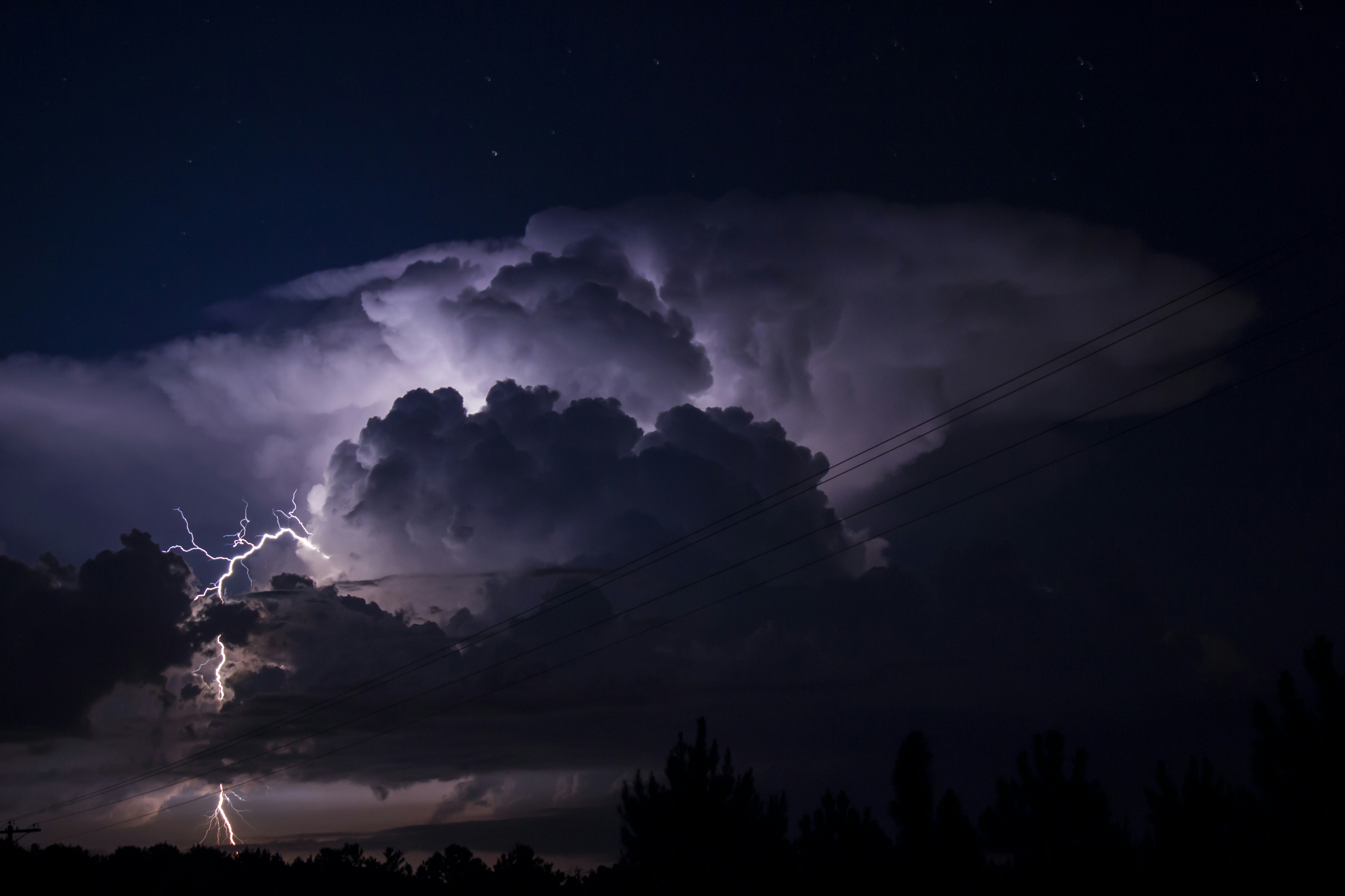
Arthur formed in the western Gulf of Mexico and reached tropical storm strength on Wednesday morning near the middle of the Texas coast, roughly 50 miles from Port O'Connor. It never grew into a powerful, wind-driven hurricane.
Instead, the danger came from water. After a quick landfall in Texas, Arthur weakened into a tropical rainstorm and crawled inland — a slow path that let bands of tropical moisture stall over the same communities for hours at a time.
The National Weather Service clocked rainfall rates of up to 3 inches per hour in southeastern Louisiana, the kind of intensity that overwhelms storm drains, bayous, and rivers in a matter of hours.
Record Rainfall and Hundreds of Flooded Homes
The rainfall totals from Tropical Storm Arthur were staggering. A few of the standout numbers since Wednesday:
- Plaucheville, Louisiana: 22.71 inches of rain — among the highest totals recorded.
- Simmesport, Louisiana: 17.66 inches.
- Perkinston, Mississippi: 12.38 inches.
In Avoyelles Parish, about 70 miles northwest of Baton Rouge, at least 200 homes were flooded. Emergency crews carried out water rescues and evacuations as fast-rising water swallowed roads and ground-floor living spaces.
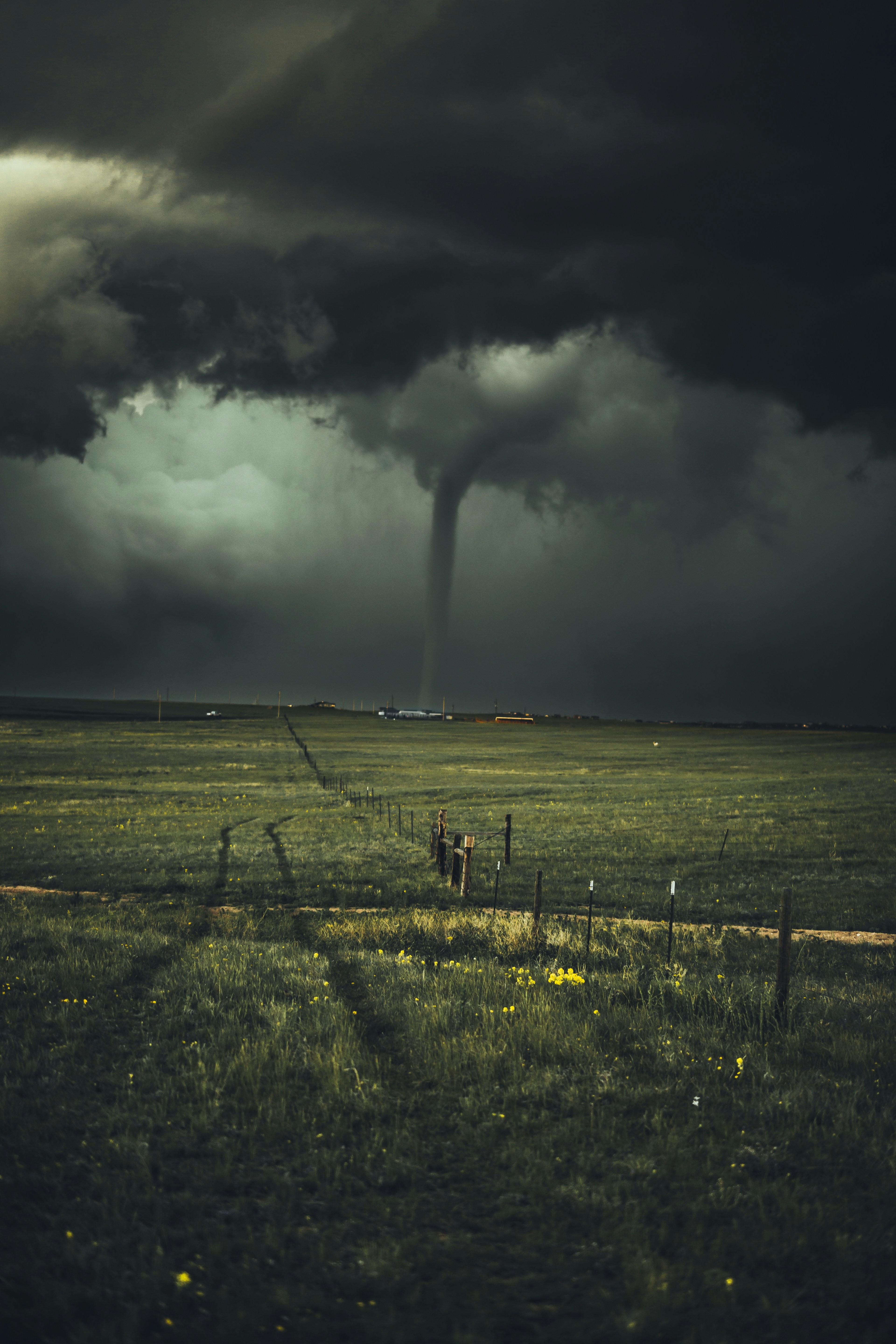
Louisiana Gov. Jeff Landry declared a statewide emergency, citing widespread rainfall, severe storms, reports of tornadoes, and more than a foot of rain falling in some areas within a single 24-hour stretch.
A Deadly Toll During Cleanup
The storm has already claimed at least one life. In Mississippi, a road crew member was killed during cleanup operations as the system's remnants pushed through the region — a sobering reminder that the hours after a storm can be as hazardous as the storm itself.

The toll underscores a hard truth about tropical systems: the cleanup phase often unfolds while floodwaters are still moving, power lines are down, and roadways are compromised. Many storm-related deaths occur not during peak winds but in the days afterward, when people return to assess damage or attempt repairs before conditions are truly safe.
How Arthur Fits Into the 2026 Hurricane Season
Every Atlantic hurricane season runs from June 1 through November 30, and the first named storm typically arrives in June. Arthur, claiming the "A" name for 2026, formed right on schedule — but its impact was outsized for such an early-season system.
Forecasters have repeatedly cautioned that the headline metric people fixate on — wind category — tells only part of the story. Arthur never threatened to become a major hurricane, yet it delivered rainfall totals more commonly associated with far stronger storms. That disconnect is exactly what makes rain-driven systems so dangerous: the public hears "tropical storm" and underestimates the threat.
The early arrival of a high-impact storm also raises questions about what the rest of the season holds. While a single storm doesn't define a season, Arthur is a reminder that coastal and inland communities alike should finalize their preparations well before peak activity in August and September.
Why This Storm Matters Beyond the Headlines
Arthur is a textbook example of a growing pattern: the deadliest tropical systems are increasingly defined by rainfall, not wind. A storm doesn't need to reach hurricane strength to be catastrophic.
There are a few reasons this matters as the Atlantic hurricane season 2026 gets underway:
- Warmer Gulf waters hold more moisture, fueling heavier, faster downpours.
- Slow-moving systems linger over communities, multiplying total rainfall.
- Inland flooding often strikes areas far from the coast that feel safe from "hurricane" threats.
For the tens of millions living along and inland from the Gulf, Arthur is an early-season warning shot — a sign that even a "weak" named storm can produce a life-threatening flash flood emergency.
What Comes Next
Forecasters expect Arthur's remnants to continue weakening and to push out into the Atlantic over the weekend. But the flood danger lingers because saturated ground and swollen rivers can keep rising even after the rain stops.
Residents in affected parts of Louisiana, Mississippi, and the broader Southeast are urged to monitor local flood warnings, avoid driving through flooded roadways, and follow guidance from emergency officials. The familiar advice still saves lives: turn around, don't drown.
How to Stay Safe From Flash Flooding
If you live in an area still under a flood watch or warning, a few simple steps can make a meaningful difference:
- Never drive through floodwater. Just 12 inches of moving water can sweep away most vehicles, and you can't judge depth or current from behind the wheel.
- Move to higher ground early. Don't wait for water to reach your door before relocating valuables and, if needed, yourself.
- Keep phones charged and enable wireless emergency alerts so you receive flash flood warnings in real time.
- Avoid downed power lines and assume any standing water near them is energized.
- Wait for the all-clear before beginning cleanup, and never enter a flooded structure until officials confirm it is safe.
The Bottom Line
Tropical Storm Arthur proves that the first storm of the season can be one of the most disruptive. With record rainfall, hundreds of flooded homes, and a death already linked to the cleanup, its legacy is a reminder to take water threats as seriously as wind.
Stay safe this hurricane season: bookmark your local weather service, build an emergency kit now, and share this article with friends and family along the Gulf Coast. Have a question about preparing for the next storm? Drop it in the comments below.
Post a Comment